Scan QR

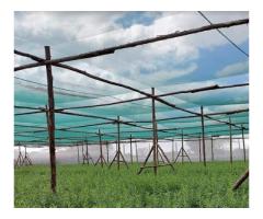
SenseImage stands out as a key player in providing cutting-edge drone mapping and survey services in Chennai. They leverage advanced technology and expertise to deliver comprehensive and accurate geospatial data solutions.
Drone mapping is simply another form of aerial mapping. Prior to the pervasive use of drones, large areas were mapped using manned aircraft, typically helicopters. Drone mapping is a way to do this job more cost-effectively, safe manner, and productively.


 Loading